Julio Contreras
ES

The globe is decorative. The same projects are listed on the Research page.

Julio Cesar Contreras Huerta

From Lima, Peru to Valencia, Spain

Julio Contreras

Satellite data that gets used.

Geographical engineer from Lima, Peru and PhD student at the Universitat de València. I started in Peru making maps and geographic data for environmental studies; then came Andes DataCube and CloudSEN12+. Now I work on one simple idea: satellite data that gets used. I clean clouds, improve resolution, compress and package data, and use it to look at water, glaciers and methane.
02

Valencia

In September 2025 I started my PhD at the Universitat de València, in the ISP/IPL group at the Science Park. I research deep learning cloud detection for historical satellite records. Along the way I trained and evaluated super-resolution: SEN2NAIP, SEN2SR and SEN2NEON.

03

Now

I work as a researcher at the Science Park of the Universitat de València, in the ISP group (isp.uv.es). I keep collaborating with Asterisk Labs, where I work on TACO, the format for packaging AI-ready Earth Observation datasets. CubeXpress came out of downloading GEE cubes without pain. And now I am deep into MethaneSET, measuring methane leaks with several satellites.

Research

Papers, datasets and benchmarks. From cleaning clouds to looking at methane.

MethaneSET

MethaneSET · 2026

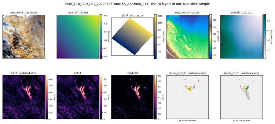
Multi-sensor benchmark to detect and quantify methane leaks.

SEN2NEON

SEN2NEON · 2026

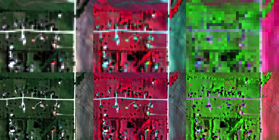
Benchmark that evaluates super-resolution against real AVIRIS-NG references.

Andes DataCube

Andes DataCube · 2023-2025

Peruvian Andes

Data cube of the Peruvian Andes built from 50,000 Sentinel-2 and Landsat images.

All projects

Publications

Everything I have published, with DOI.

  • A radiometrically and spatially consistent super-resolution framework for Sentinel-2
    Remote Sensing of Environment · 2026
  • SEN2NEON: Enabling Quantitative Benchmarking of Sentinel-2 Superresolution for All Multispectral Bands
    IEEE Geoscience and Remote Sensing Letters · 2026
  • Evaluating Machine Learning Emulators for Atmospheric Radiative Transfer: The Atmospheric Machine Learning Emulation Challenge
    IEEE Geoscience and Remote Sensing Magazine · 2026
  • The Missing Piece: Standardising for AI-ready Earth Observation Datasets
    TerraBytes, ICML 2025 Workshop · 2025

All publications

Contact

For collaborations, data or a conversation.

contrerasnetk@gmail.com